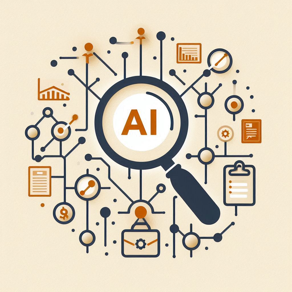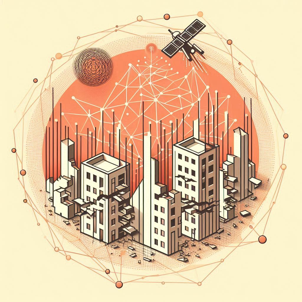
This research introduces QuakeMetaFormer, a transformer-based AI model that integrates high-resolution satellite imagery, SAR data, and seismic metadata to provide fast and accurate multiclass post-earthquake building damage assessments, significantly improving disaster response efficiency.
When an earthquake strikes, time is critical. The faster emergency responders can assess damage, the sooner they can allocate resources, rebuild communities, and save lives. Traditionally, this process relies on manual door-to-door inspections, which are slow, risky, and costly. But what if artificial intelligence (AI) could do it in minutes instead of weeks? Enter QuakeMetaFormer—a cutting-edge AI model that leverages satellite imagery and metadata to revolutionize post-earthquake damage assessment.
Let’s explore how this AI-powered tool is changing disaster recovery and what it means for the future. 🔍
After an earthquake, engineers and government agencies rush to assess damaged buildings. This assessment is crucial for prioritizing aid, preventing further casualties, and restoring infrastructure. However, traditional methods have significant limitations:
Clearly, a better solution is needed. AI-driven technology offers a game-changing alternative. 📡
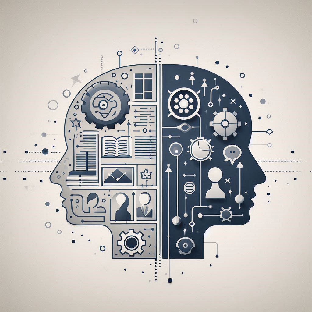
To address these challenges, researchers have developed QuakeMetaFormer, a transformer-based AI model designed specifically for multiclass building damage assessment. Unlike previous AI models, which often provided only binary damage classifications (damaged or not damaged), this model offers detailed damage levels from slight damage to complete collapse. 🏢💥
🔹 Satellite + SAR Imagery: Uses high-resolution satellite images and Synthetic Aperture Radar (SAR) data to detect changes before and after an earthquake.
🔹 Metadata Integration: Incorporates crucial earthquake-related data, such as ground motion intensity, soil conditions, and structural characteristics to improve accuracy.
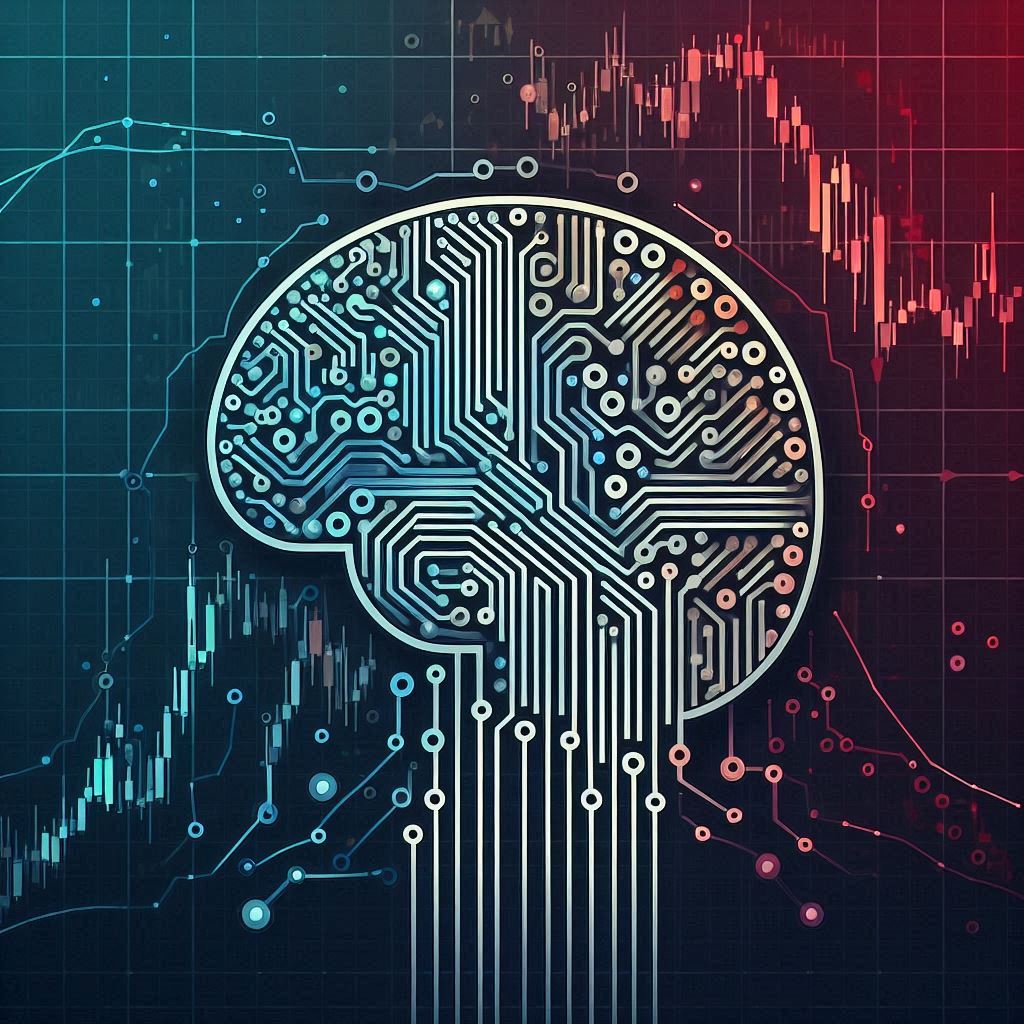
🔹 Transformer-Based AI Model: Unlike older machine learning methods, transformers excel at recognizing patterns across different data sources, leading to state-of-the-art accuracy.
🔹 Rapid & Scalable: Can assess entire cities in hours instead of weeks, ensuring faster disaster response.
Researchers tested QuakeMetaFormer on real earthquake data from the Mw 7.8 Turkey-Syria earthquake in February 2023. Here’s what they found:
✅ Higher Accuracy 🎯: Achieved an 85% accuracy rate, outperforming traditional methods by 16%.
✅ Better Damage Differentiation 📊: Unlike older models, it successfully classified buildings into four levels of damage, not just “damaged” or “undamaged.”
✅ Faster Decision-Making ⏩: Automated assessment allowed for immediate response planning—a crucial advantage in disaster scenarios.
✅ Improved Generalization 🌎: The model was tested in multiple regions and consistently performed well, proving its ability to work across different earthquakes.
The results show that AI can significantly enhance the speed and accuracy of post-earthquake damage assessments, making disaster response faster, safer, and more efficient. 💪
While QuakeMetaFormer is a significant breakthrough, there’s always room for improvement. Here’s what the future holds for AI-driven earthquake assessment:
🔹 Real-Time Damage Prediction: Future models could integrate real-time seismic data to provide instant damage predictions as an earthquake occurs. ⚡
🔹 Drone and IoT Integration: Combining AI with drones and smart sensors could further enhance the precision and scalability of damage assessments. 🚁📡
🔹 Global Deployment: Governments and disaster response teams worldwide could adopt these AI models to enhance earthquake preparedness and recovery. 🌍
🔹 AI for Other Disasters: The same technology could be adapted for hurricanes, floods, and wildfires, making it a universal disaster response tool. 🌪️🔥
The devastating impact of earthquakes is inevitable, but how we respond can change. With AI-driven solutions like QuakeMetaFormer, we are moving toward a future where damage assessments happen in real-time, responders get accurate information immediately, and rebuilding efforts start sooner than ever before.
🔹 Post-Earthquake Damage Assessment (PDA) – The process of evaluating buildings and infrastructure after an earthquake to determine their level of damage and safety. 🚧 - This concept has also been explored in the article "Cracking the Code of Earthquake Damage Detection: How AI and Semi-Synthetic Images Transform Safety Assessments 🏠🌍".
🔹 Transformer-Based AI – A powerful type of artificial intelligence model that processes data efficiently and recognizes patterns better than traditional machine learning. 🤖🔍 - This concept has also been explored in the article "Unlocking Indoor Perception: Meet RETR, the Radar Detection Transformer 📡🏠".
🔹 Satellite Imagery – High-resolution images of the Earth's surface captured from space, used to analyze damage without needing on-the-ground inspections. 🛰️📷
🔹 Synthetic Aperture Radar (SAR) – A radar technology that creates detailed images of the ground, even through clouds or at night, making it perfect for disaster assessment. 🌙📡 - This concept has also been explored in the aticle "🔍❄️ Seeing Through Clouds: How Dual Sensors Revolutionize Snow Monitoring".
🔹 Metadata – Extra information (like ground motion intensity and soil type) that helps AI models make better predictions about earthquake damage. 📊📌 - This concept has also been explored in the article "Dancing into the Future: How AI is Preserving Korean Traditional Dance in Real Time 🎭 🇰🇷".
🔹 Multiclass Damage Classification – Instead of just labeling buildings as “damaged” or “undamaged,” this method categorizes damage into different levels, from minor cracks to total collapse. 🏢💥
🔹 Peak Ground Acceleration (PGA) – A measurement of how fast the ground shakes during an earthquake, helping predict structural damage. 🌍⚡
Source: Deepank Singh, Vedhus Hoskere, Pietro Milillo. Multiclass Post-Earthquake Building Assessment Integrating Optical and SAR Satellite Imagery, Ground Motion, and Soil Data with Transformers. https://doi.org/10.48550/arXiv.2412.04664