In Brief
Researchers have developed an integrated AI operating system for low-altitude aviation that unifies hardware and software to enhance drone capabilities, enabling smarter navigation, multi-drone coordination, real-time processing, and user-friendly customization for diverse applications.
In Depth
The Sky is the Limit!
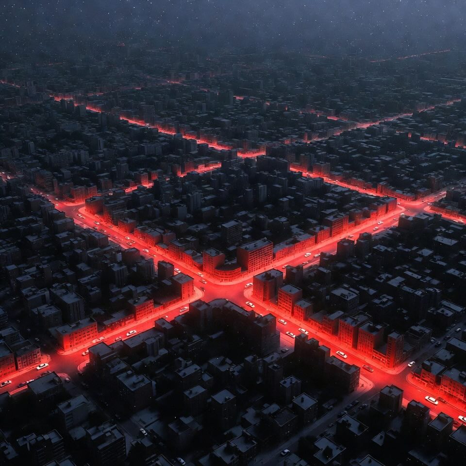
Imagine a future where drones don’t just fly—they think, adapt, and collaborate in real time. That future is arriving faster than you might expect, thanks to cutting-edge research on a comprehensive Artificial Intelligence (AI) operating system tailored for low-altitude aviation. Researchers have developed an integrated platform that enhances the capabilities of drones, paving the way for smarter, safer, and more efficient operations.
Let’s explore this game-changing innovation and what it means for the future of aviation and beyond.
Why Do We Need an AI OS for Drones?
Drones are already transforming industries:
- Logistics: Rapid delivery in remote or urban areas.
- Agriculture: Monitoring crops and managing resources.
- Disaster Response: Surveying damage and locating survivors.
- Environmental Monitoring: Tracking wildlife and pollution levels.
However, deploying AI in drones isn’t without challenges. Here are the current hurdles:
- Fragmentation: Many drone systems operate as isolated silos, limiting real-time data sharing.
- Lack of Standards: Varied architectures and protocols hinder collaboration.
- Processing Demands: AI algorithms need significant computational power.
This is where the new AI operating system comes into play, seamlessly integrating hardware and software to overcome these obstacles.
Meet the Game-Changer: The United AI Operating System
The research introduces a system built around six robust modules, each with unique functions that harmonize for a cohesive user experience:
- OrinFlight OS: The powerhouse behind it all, this UNIX-based system optimizes real-time resource management using NVIDIA’s Orin platform. Think of it as the brain keeping everything running smoothly.
- UnitedVision: The visual genius, processing data from cameras (stereo, infrared, etc.) to create 3D maps and analyze surroundings in real-time.
- UnitedSense: A perception master, merging data from sensors (LiDAR, infrared, ultrasonic) to build a dynamic environmental model.
- UnitedNavigator: The pathfinder, ensuring drones follow optimal routes and adapt to sudden changes on the fly.
- UnitedMatrix: The team player, coordinating multi-drone operations for seamless task execution.
- UnitedInSight: The ground control, offering real-time monitoring and advanced mission planning tools.
What Makes This System Special?
- Integration and Cohesion - Unlike traditional setups that struggle with fragmented components, this system unites all functionalities, streamlining operations. Real-time data from sensors, navigation systems, and ground stations is synchronized for efficiency.
- Multi-Drone Collaboration - With UnitedMatrix, drones can work in teams, sharing data and responsibilities for large-scale tasks like surveying or disaster response. Imagine a fleet of drones covering every inch of a forest to track endangered species or assess storm damage.
- User-Friendly Development - The UA DevKit lowers the technical barrier, allowing users to customize workflows with an intuitive interface. Operators can tweak drone behaviors without needing a degree in coding—win-win!
Use Cases: Where AI Meets Real-World Impact
- Emergency Response: AI-powered drones equipped with UnitedSense and UnitedVision can locate survivors, navigate through rubble, and relay critical data to rescue teams.
- Agricultural Management: Precision farming gets an upgrade. UnitedNavigator ensures efficient route planning, while UnitedVision analyzes crop health in real-time.
- Urban Logistics: Say goodbye to traffic jams! UnitedMatrix ensures drone fleets deliver packages efficiently across cities, adapting to real-time conditions.
- Environmental Conservation: UnitedSense’s advanced modeling supports wildlife tracking and pollution monitoring, essential for preserving our planet.
Future Prospects: What’s Next?
This system sets the stage for a new era of autonomous aviation. Here are some exciting possibilities:
- Standardization Across Industries: A unified platform means easier collaboration and wider adoption across sectors.
- Scaling Multi-Drone Operations: Enhanced communication and coordination could revolutionize logistics, surveillance, and even construction.
- Smarter AI Models: Continuous learning capabilities will make drones more adaptable, enabling them to handle complex and unpredictable scenarios.
- Integration with Emerging Technologies: Picture drones equipped with advanced communication networks like 5G, enabling faster data sharing and more efficient operations.
- Regulatory Advancements: With a reliable AI framework, regulatory bodies could fast-track the deployment of drones in sensitive applications like medical supply delivery or public safety.
Final Thoughts: The Future is Bright
The introduction of this integrated AI operating system marks a turning point in the evolution of low-altitude aviation. By addressing current limitations and offering a scalable, user-friendly solution, this innovation not only enhances drone capabilities but also opens up a world of new possibilities.
Whether it’s transforming agriculture, saving lives in disaster zones, or ensuring efficient urban logistics, the sky is no longer the limit—it’s the launchpad!
In Terms
AI Operating System: A specialized software framework that manages hardware and software components to enable drones to operate intelligently and autonomously. Think of it as the "brain" for managing all drone functions.
Low-Altitude Aviation: Refers to drone operations close to the ground, typically under 400 feet, used for tasks like deliveries, surveillance, and environmental monitoring.
Multi-Sensor Fusion: The process of combining data from multiple sensors (e.g., cameras, LiDAR, ultrasonic sensors) to create a detailed and accurate environmental model for better decision-making.
Real-Time Processing: The capability of a system to analyze and act on data as it is collected, crucial for tasks like avoiding obstacles or adapting to environmental changes.
Path Planning: The method by which drones determine the most efficient and safe routes to complete their missions.
Multi-Drone Coordination: The ability for multiple drones to communicate and collaborate, ensuring synchronized operations for tasks like large-area surveys or package deliveries.
UA DevKit: A user-friendly platform included in the system, allowing operators to customize workflows and applications with minimal coding.
NVIDIA Orin Platform: A high-performance computing system designed to handle complex AI tasks, providing the processing power for this advanced operating system.
Source
Minzhe Tan, Xinlin Fan, Jian He, Yi Hou, Zhan Liu, Yaopeng Jiang, YM Jiang. An Integrated Artificial Intelligence Operating System for Advanced Low-Altitude Aviation Applications. https://doi.org/10.48550/arXiv.2411.18845
From: United Aircraft Group; United Aircraft Singapore AI Research Centre.