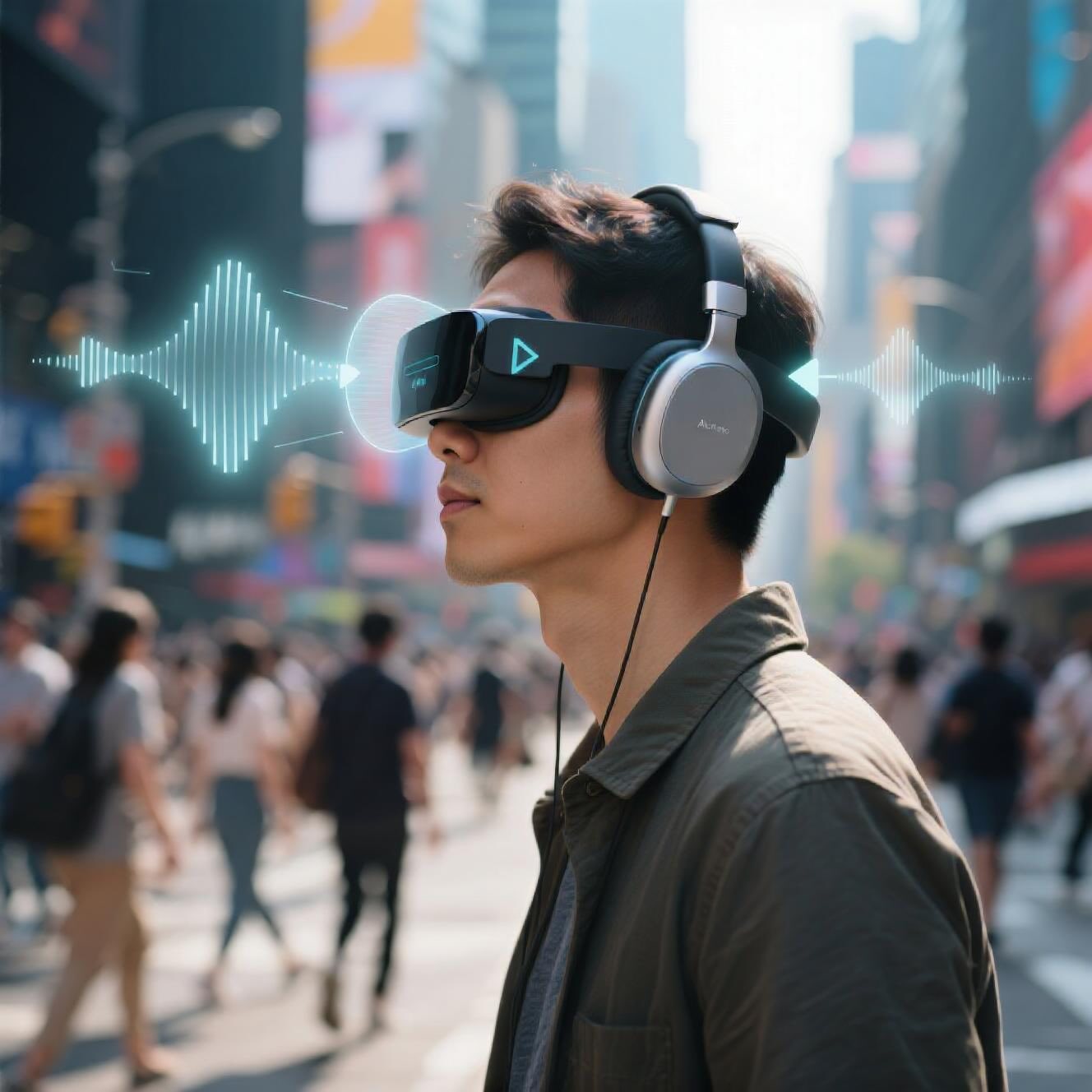
A new navigation system combines Computer Vision, Building Information Modeling, and Audio Augmented Reality to guide blind and visually impaired people indoors and outdoors without extra infrastructure, achieving accuracy comparable to sighted users.
Imagine walking through a busy airport, a university campus, or a shopping mall without being able to see the layout. For Blind and Visually Impaired People (BVIP), navigating these environments is often stressful and sometimes unsafe. Traditional aids like white canes or guide dogs are helpful, but they don’t always provide enough spatial awareness — especially in complex or unfamiliar places.
Researchers have now developed a next-generation navigation system that doesn’t just tell you where to go, but intelligently computes paths and guides you with audio cues. The magic happens by merging Computer Vision (CV), Building Information Modeling (BIM), and Audio Augmented Reality (AAR) into one seamless system.
According to the World Health Organization (WHO), over 2.2 billion people worldwide live with visual impairment, and that number is increasing every decade. Many existing navigation tools rely on heavy infrastructure setups (like RFID tags, beacons, or custom markers). That makes them expensive, hard to scale, and often impractical for real-world public spaces.
This new system takes a different approach: it’s infrastructure-free. No need to install devices across buildings. Instead, it leverages digital models of spaces (BIM) and the camera on a smartphone for navigation.
The researchers designed a hybrid navigation assistant with three main components:
The system uses two Computer Vision engines:
Together, they allow the system to keep track of the user’s pose and position in real time — indoors and outdoors.
The team tested the system on a university campus, covering both indoor and outdoor navigation.
👉 The conclusion? The system makes navigation for visually impaired users as effective — if not more accurate — than for sighted users.
Of course, no system is perfect. The study noted a few challenges:
The researchers outlined exciting next steps:
This study demonstrates a powerful leap forward in navigation technology. By combining Computer Vision, Building Information Modeling, and Audio Augmented Reality, the researchers created a system that allows blind and visually impaired people to move independently across both indoor and outdoor environments — with no extra infrastructure needed.
It’s not about replacing white canes or guide dogs but enhancing them with digital intelligence. With further refinement, this kind of navigation assistant could soon be a common tool in smartphones, making cities, campuses, and public spaces truly accessible.
Navigation System 🧭 A digital or physical setup that helps people move from one place to another by giving directions, showing routes, or guiding them safely.
Building Information Modeling (BIM) 🏢 A smart 3D digital model of a building that contains not just shapes but also details like rooms, doors, materials, and how spaces connect — like a living map of the building. - More about this concept in the article "Digital Twins Tech 🧱 Reinvents Dike Safety".
Computer Vision (CV) 👁️🗨️ A branch of AI that teaches computers to “see” and understand images or videos, helping machines recognize objects, positions, and environments. - More about this concept in the article "Smarter Forest Fire Detection in Real Time 🔥 F3-YOLO".
Structure from Motion (SfM) 📸➡️🗺️ A computer vision technique that builds a 3D model of an environment from many 2D pictures taken from different angles.
Audio Augmented Reality (AAR) 🎧 Technology that mixes real-world sounds with virtual audio cues, so you can “hear directions” in space as if they come from the path you need to follow.
Pose Tracking 🚶♀️📍 The process of continuously figuring out where a person is and which direction they’re facing in a space.
Path Planning 🗺️ The process of computing the safest or shortest route between a starting point and a destination. - More about this concept in the article "AI Takes Flight: Revolutionizing Low-Altitude Aviation with a Unified Operating System 🌌🚁".
EOAs (Electronic Orientation Aids) 📲 Digital tools that give navigational instructions (like telling you where to turn), as opposed to detecting obstacles.
HRTF (Head-Related Transfer Function) 👂 A scientific model that explains how sounds reach your ears depending on where they come from, used in AAR to create 3D audio effects.
Source: Messi, L.; Vaccarini, M.; Corneli, A.; Carbonari, A.; Binni, L. An Audio Augmented Reality Navigation System for Blind and Visually Impaired People Integrating BIM and Computer Vision. Buildings 2025, 15, 3252. https://doi.org/10.3390/buildings15183252