This research develops a block-scale Spatial Flood Vulnerability Index (SFVI) for Morelia, Mexico, using GIS and socio-environmental data to identify high-risk flood zones and support targeted urban resilience planning.
Flooding is one of the most destructive natural disasters, affecting cities worldwide. With climate change intensifying extreme weather events, urban areas must find innovative ways to assess and manage flood risks. A recent study takes a deep dive into the flood vulnerability of Morelia, Mexico, using a Spatial Flood Vulnerability Index (SFVI) to pinpoint the city’s most flood-prone blocks.
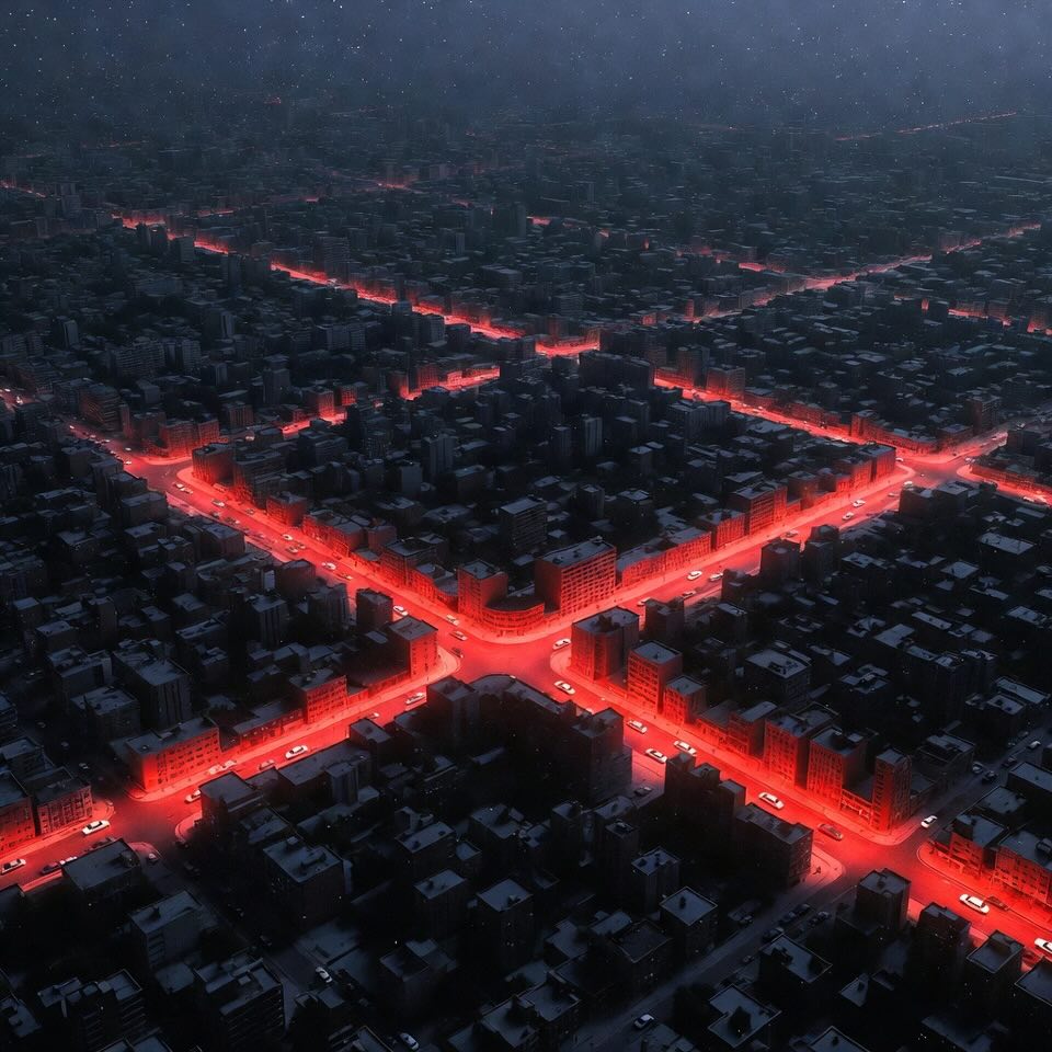
Floods aren’t just about water damage—they disrupt economies, displace communities, and can lead to significant health crises. In Morelia, frequent flooding stems from rapid urban expansion, inadequate drainage, and proximity to rivers. With two major rivers, Grande and Chiquito, running through the city, Morelia faces constant flood threats, making proactive planning essential.
The study introduces a block-scale SFVI, a tool designed to provide a detailed and localized assessment of flood risks. Unlike traditional city-wide or watershed-level analyses, this method examines vulnerability at the urban block level, offering more precise insights for flood management.
Researchers analyzed various factors contributing to flood vulnerability by categorizing them into six key components:
Each block’s vulnerability score was calculated using Geographic Information Systems (GIS) and statistical techniques, assigning weight to factors based on their impact on flood risk.
The results reveal a clear vulnerability pattern:
One striking finding was that areas with poor urban planning and informal settlements were more vulnerable due to lack of flood defenses and proper drainage systems.
The study provides a data-driven framework for flood mitigation. Here’s how Morelia can use this research:
A localized SFVI allows city planners to identify at-risk neighborhoods and implement targeted evacuation plans before major floods occur.
Increasing green spaces, permeable pavements, and urban wetlands can significantly reduce water runoff and improve flood resilience.
Regulating construction near flood-prone areas and enforcing strict zoning laws can prevent the growth of vulnerable communities in at-risk locations.
Ensuring that healthcare centers, evacuation routes, and shelters are accessible in high-risk areas can save lives during floods.
Morelia’s block-scale flood vulnerability mapping is an innovative and replicable model for other flood-prone cities worldwide. By identifying localized risks and focusing on targeted flood prevention strategies, urban areas can better prepare for future extreme weather events.
The fight against floods isn’t about resisting water—it’s about learning to adapt, manage, and coexist with it through smart engineering and urban planning.
Flood Vulnerability – How likely an area is to experience damage from flooding based on factors like location, infrastructure, and preparedness.
Spatial Flood Vulnerability Index (SFVI) – A numerical score that ranks different urban areas based on their flood risk, considering climate, geography, land use, and socio-economic factors.
Urban Resilience – A city's ability to withstand, recover from, and adapt to disasters like floods while keeping communities safe.
Geographic Information Systems (GIS) – A mapping technology that helps researchers analyze and visualize spatial data, like flood-prone areas in a city.
Green Infrastructure – Nature-based solutions (like parks, wetlands, and permeable pavements) that absorb excess rainwater and reduce urban flooding. - This concept has also been explored in the article "Smart Cities and the Circular Water Revolution".
Roblero-Escobar, C.X.; Madrigal, J.; Sánchez-Quispe, S.T.; Orantes-Avalos, J.C.; García-Romero, L. Development of a Block-Scale Spatial Flood Vulnerability Index—Case Study: Morelia, Mexico. Water 2025, 17, 422. https://doi.org/10.3390/w17030422