This research presents CoordField, an intelligent agentic system that combines large language models and coordination field dynamics to enable decentralized, adaptive task allocation for UAV swarms in complex urban environments.
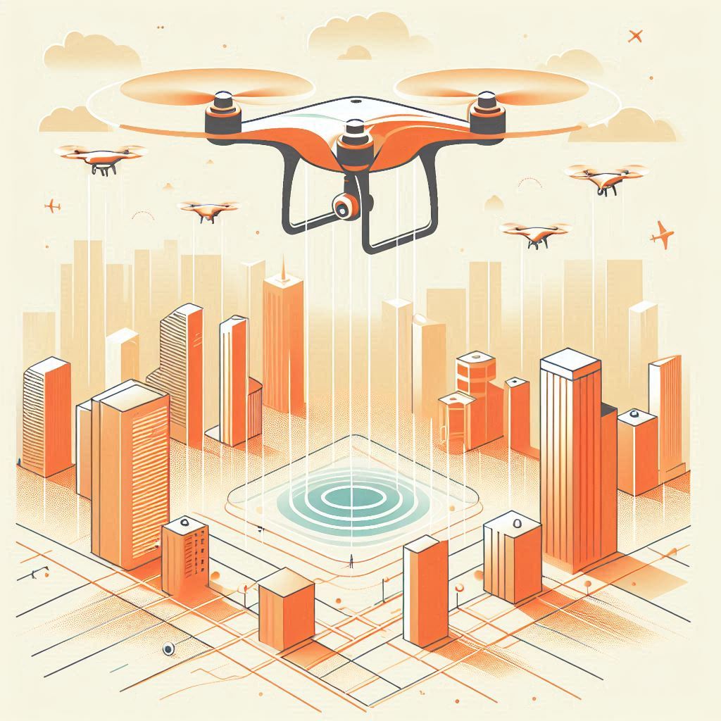
The sky isn’t the limit—it’s the battleground for smarter coordination! 🛰️ In the age of smart cities, Unmanned Aerial Vehicles (UAVs), aka drones, are more than cool flying cameras—they’re essential tools for traffic monitoring, pedestrian tracking, and rapid emergency responses. But managing a whole swarm of them across a crowded city? Now that’s an engineering challenge.
Enter CoordField, a revolutionary framework blending Agentic AI 🧠, Large Language Models (LLMs) 🗣️, and coordination fields 🌀 to help swarms of drones tackle tasks in the ever-changing maze of urban environments. Developed by researchers from Macau University of Science and Technology and partners, this system is a new milestone in smart UAV coordination. Let’s unpack it in human-friendly terms! 😉
Urban areas are dynamic jungles. 🚦 Cars zoom by, pedestrians shift constantly, buildings block signals, and new tasks pop up by the second. Traditional drone control systems struggle here. Why?
🤖 How do you tell 20+ drones to scan traffic lights, track suspicious vehicles, AND inspect crowds—all at once, efficiently, and without colliding mid-air?
This research proposes CoordField—an Agentic AI system that lets drones understand natural language commands, break them down into tasks, and coordinate themselves decentrally using field physics-inspired methods.
🧱 Core Components:
The system uses a Large Language Model (LLM)—think ChatGPT-style AI—to understand vague human instructions like:
"Please monitor traffic and crowds downtown."
It turns this into structured data:
Task = (location, urgency, type)
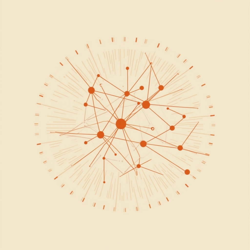
Think of a virtual map of the city where task urgency is like heat spots 🔥 and UAVs are like particles in a fluid—naturally pulled toward hot zones (urgent tasks) and pushed away from each other to avoid collisions.
No single controller tells drones what to do. Instead, each UAV reads the “field” and decides its next move. Kinda like birds in a flock! 🐦
Here’s how the “magic” unfolds in CoordField:
A user gives a vague instruction:
“Inspect the intersection near Main Street.”
The LLM parses it into:
📍 Location → Coordinates
🔥 Urgency → Weight
🔍 Type → Patrol / Track / Inspect
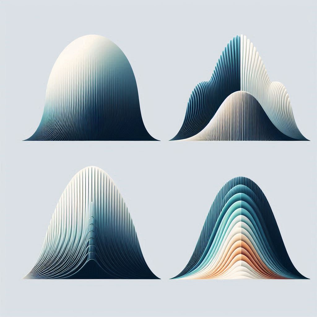
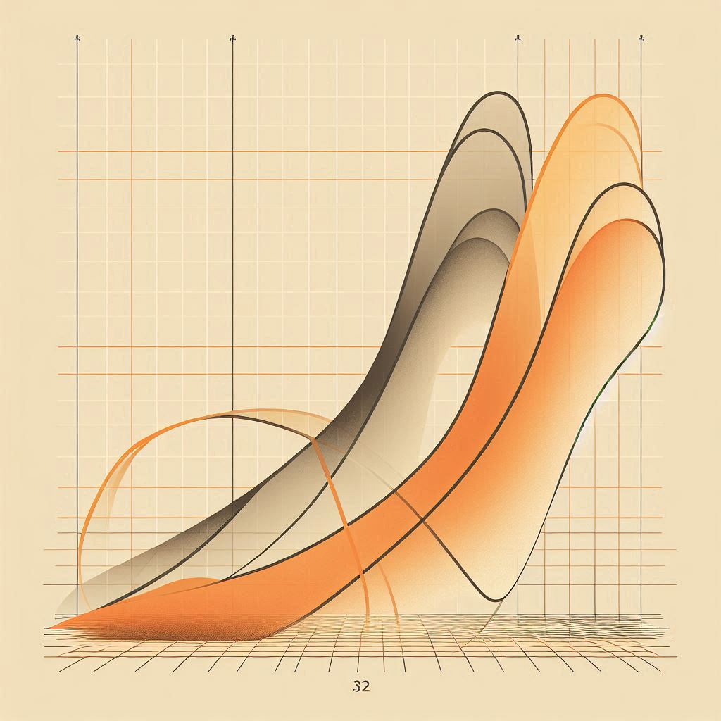
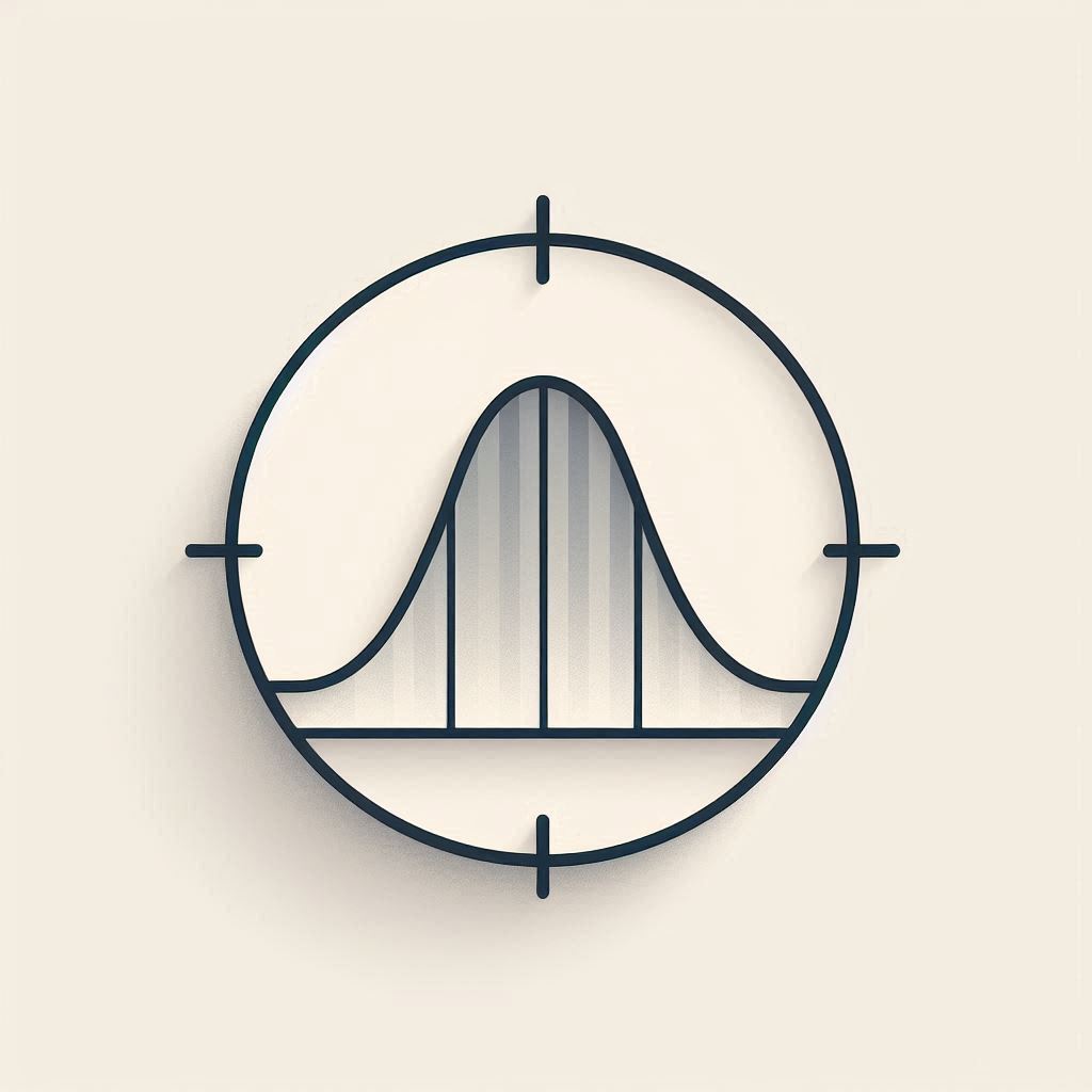
Using Gaussian functions, the system paints a "heat map" of the city:
🔴 Red zones = high-priority tasks
🔵 Blue zones = low-priority
⬛️ Buildings = no-fly zones
This becomes the task potential field, which changes in real time!
Borrowing from fluid dynamics, the system computes:
💨 A velocity field: Tells drones which way to go.
🌀 Vortex fields around each drone: Prevents drones from crashing into each other.
Drones follow the local wind of the field—like leaves in a stream—but with brains! 🧠
Each UAV gets its own execution command, which:
No micromanaging—just smooth, smart coordination.
The researchers simulated a 1,000 x 1,000 grid urban city full of:
🚶 Pedestrians
🚗 Moving vehicles
🚥 Traffic lights
🏢 Buildings
They ran 50 tests comparing CoordField to other systems like GPT-4o, DeepSeek, Claude 3, and more.
| Metric 🔍 | CoordField | GPT-4o | DeepSeek |
| Task Parsing Accuracy 🗂️ | 96% ✅ | 74% | 70% |
| Coverage Efficiency 🌍 | 95% ✅ | 85% | 78% |
| Load Balance ⚖️ | 0.8 (lower is better) ✅ | 1.5 | 2.1 |
| Utilization Rate 🔧 | 97% ✅ | 82% | 85% |
💡 CoordField not only understood instructions better, but covered tasks faster, spread drones more evenly, and used nearly every drone at all times. No slacking bots here! 😎
Imagine a future where:
CoordField is not just smarter drones—it’s smarter systems. 🤖🌐
The researchers are just getting started! Here's what's on the horizon:
CoordField is an inspiring leap toward intelligent, autonomous, and scalable UAV coordination. It fuses the latest in AI language models, fluid dynamics, and robotic decentralization into a robust, adaptive system fit for the cities of tomorrow.
Next time you see a drone buzzing overhead, think:
"Maybe it's not just flying… maybe it's thinking too!" 🧠✨
🛸 UAV (Unmanned Aerial Vehicle) - A flying robot (aka drone) that operates without a human pilot on board—used for everything from filming to traffic monitoring. - More about this concept in the article "Smart Drones for Tiny Creatures: How AI is Revolutionizing Insect Monitoring 🚁 🦋".
🧠 Agentic AI - A smart AI system that doesn’t wait for instructions—it sets goals, makes decisions, and adapts on its own like a digital “agent.” - More about this concept in the article "The Future of Responsible AI 🎯 How Companies Are Wrestling with the Rise of Agentic AI".
🗣️ LLM (Large Language Model) - A supercharged AI that understands and generates human language—like ChatGPT or GPT-4, but used to control tech and tools. - More about this concept in the article "The Illusion of Role Separation in LLMs 🎭 Why AI Struggles to Distinguish Between System and User Roles (And How to Fix It!)".
🌐 Coordination Field - A virtual map that guides drones using "forces" like a magnetic field, showing where urgent tasks are and how drones should move.
🔥 Potential Field - A math-based map where important spots (like emergencies) pull drones in like gravity, and obstacles push them away.
🌊 Velocity Field - A field that tells drones which direction to fly and how fast—kind of like a wind map for the sky.
🌀 Vortex Field - A small spinning force around each drone that keeps it from bumping into others, creating smooth crowd-like behavior.
🧩 Task Decomposition - Breaking a big job (like “monitor traffic”) into smaller pieces (like “scan intersection A,” “follow car B,” etc.). - More about this concept in the article "RoboTwin 🤖🤖 How Digital Twins Are Supercharging Dual-Arm Robots!".
🤖 Decentralized Control - No single boss drone here! Each drone thinks for itself based on shared info, like ants in a colony working together.
📈 Task Parsing Accuracy (TPA) - How well the system turns natural language into specific drone tasks—it’s like the AI’s ability to “get what you mean.”
Source: Tengchao Zhang, Yonglin Tian, Fei Lin, Jun Huang, Rui Qin, Fei-Yue Wang. CoordField: Coordination Field for Agentic UAV Task Allocation In Low-altitude Urban Scenarios. https://doi.org/10.48550/arXiv.2505.00091
From: Macau University of Science and Technology; Chinese Academy of Sciences; Óbuda University; The University of Chinese Academy of Sciences; Tianjin University.