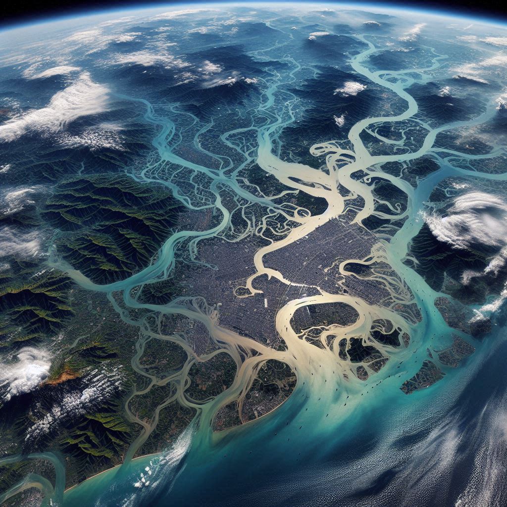
Researchers have successfully adapted the RST-FLOOD technique to work with high-resolution Sentinel-2 satellite data, revolutionizing flood mapping speed and accuracy. 🌟
🌍 When disaster strikes, every second counts. That's why a team of innovative researchers has taken flood mapping to the next level, combining the power of Sentinel-2 satellite imagery with the robust RST-FLOOD technique. Their groundbreaking study, focused on the devastating Emilia Romagna floods of May 2023, showcases a leap forward in disaster response technology.
🔬 The RST-FLOOD technique isn't new, but its application to Sentinel-2's high-resolution imagery is a game-changer. Previously limited to lower-resolution satellite data, this upgrade allows for unprecedented detail in flood mapping. Imagine being able to spot flooded areas as small as a tennis court from space – that's the kind of precision we're talking about! 🎾
⚡ Speed is crucial in emergency situations, and this new approach doesn't disappoint. While traditional methods can take hours or even days to produce accurate flood maps, the RST-FLOOD technique churns out results in a mere 15 minutes after receiving Sentinel-2 data. Talk about a quantum leap in response time! ⏱️
🏆 But it's not just about speed – accuracy is key. The researchers put their method to the test, comparing it with other established techniques like the CAB method and official Copernicus Emergency Management Service (CEMS) products. The result? RST-FLOOD came out on top, detecting flooded areas with higher sensitivity and reliability.
🌉 What makes this technique truly shine is its adaptability. Unlike other methods that rely on fixed thresholds, RST-FLOOD analyzes historical satellite data to establish a "normal" baseline for each location. This means it can adapt to different environments, from bustling cities to remote countryside, without missing a beat.
🚨 For disaster response teams and local authorities, this breakthrough could be a lifesaver – literally. Faster, more accurate flood mapping means better resource allocation, more efficient evacuation plans, and ultimately, reduced risk to human life and property.
🔮 Looking ahead, the team acknowledges there's still room for improvement, particularly in dealing with cloud cover that can obstruct satellite views. But with the foundation laid, the future of flood monitoring looks brighter than ever.
In a world where climate change is increasing the frequency and severity of flooding events, innovations like this aren't just cool tech – they're essential tools in our arsenal against natural disasters. As we continue to push the boundaries of what's possible with satellite technology and data analysis, we're not just mapping floods – we're charting a course towards a safer, more resilient future. 🌈
Source: Satriano, V.; Ciancia, E.; Pergola, N.; Tramutoli, V. A First Extension of the Robust Satellite Technique RST-FLOOD to Sentinel-2 Data for the Mapping of Flooded Areas: The Case of the Emilia Romagna (Italy) 2023 Event. Remote Sens. 2024, 16, 3450. https://doi.org/10.3390/rs16183450
From: Institute of Methodologies for Environmental Analysis in Italy; University of Basilicata