A fully digital radar system mounted on Unmanned Aerial Vehicles enables coherent multistatic SAR imaging without hardware synchronization, using sidelink signals and OFDM waveforms for scalable, high-resolution aerial sensing.
Ever wonder how drones can be turned into ultra-precise radar imagers? Today’s research takes us into the sky with a new kind of radar system—one that's digital, modular, and built for swarm teamwork! Let’s break down how researchers have taken a major step in synthetic aperture radar (SAR) using UAVs and clever signal tricks.
Traditional radar systems are bulky, analog, and often require tight hardware synchronization between components. But what if you could:
That’s what this research team achieved by designing a coherent multistatic SAR imaging system using digital radar mounted on UAVs.
And they made it synchronization-free—a huge breakthrough!
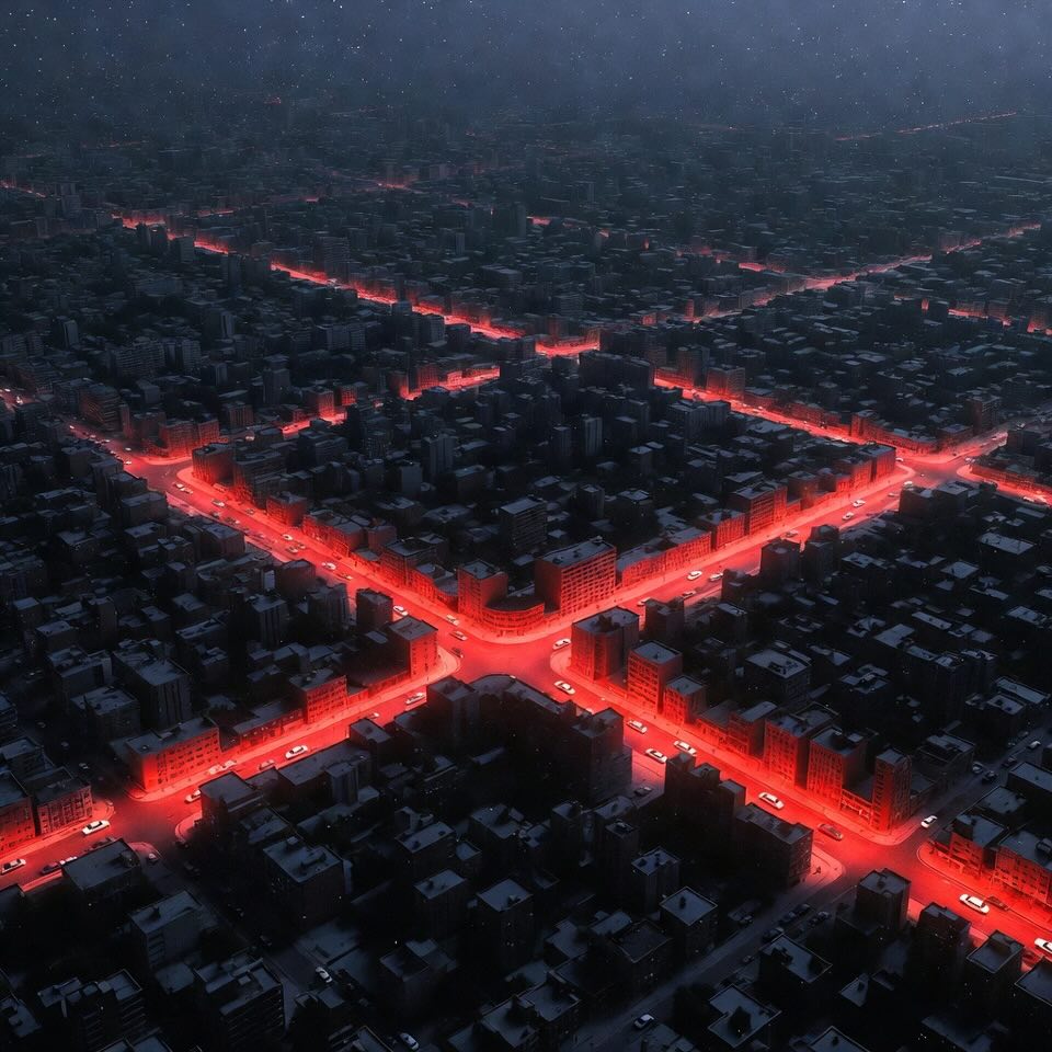
SAR imaging is used to map terrain, detect objects, and even monitor disaster zones. It works by capturing radar data while the platform moves, then combining this data into a detailed image.
The twist? This system uses:
With this, they bypass the expensive and rigid need for all radar units to share the same clock.
The radar system includes:
Primary Node (Transmitting UAV): Sends radar signals and records reflections (monostatic).
Secondary Nodes (Receiving UAVs): Receive reflections and also a sidelink signal directly from the primary UAV.
The Magic: Sidelink Signals. By sending a copy of the radar signal directly to the receivers, drones can correct timing, frequency, and phase shifts digitally. This ensures the radar data is "coherent"—meaning it's in perfect sync across all Unmanned Aerial Vehicles.
All-Digital Backend: Using FPGA-based systems and high-speed converters, the radar can sample and generate signals at GHz rates—no analog conversion needed!
Why choose OFDM? Because:
Unlike traditional chirp signals, OFDM allows short bursts of data with high range resolution and efficiency—perfect for Unmanned Aerial Vehicles with limited battery and storage.
Monostatic SAR: Radar sends and receives on the same UAV—great for focused imaging.
Multistatic SAR: Different UAVs receive the reflected signals. This creates multiple viewing angles and can generate richer images.
Because all Unmanned Aerial Vehicles get the same signal and know their positions (thanks to GPS and RTK data), they can form a coherent synthetic aperture, even though they’re not hardware-synced.
Researchers validated their system in 3 stages:
They used cables to simulate radar and sidelink signals, ensuring signal coherence.
Result: Phase variations dropped from random to nearly zero after digital correction.
Two metallic targets were imaged in a noise-free chamber.
Result: Both monostatic and bistatic modes worked great, showing precise phase control.
Two drones flew in formation and imaged a power generator. One transmitted, both received.
Result:
The combined image even improved cross-range resolution from 25 cm to just 11 cm!
This UAV radar system is digital, but still faces real-world challenges:
Timing Offsets: Each UAV has its own clock. But thanks to digital processing and sidelink calibration, errors get canceled.
Carrier Frequency Offsets: Tiny differences in radio frequencies? No problem—digitally adjusted.
Sampling Errors: Even if sampling rates differ slightly, they can be resampled and aligned digitally.
Position Errors: As long as GPS + RTK localization is accurate within a few centimeters, everything stays in sync.
Thanks to the sidelink trick, almost all these problems vanish in post-processing!
Instead of recording endless raw data, the system uses a trigger mechanism:
This makes it feasible for small Unmanned Aerial Vehicles to carry radar units without running out of space or power.
This system opens up major possibilities for UAV-based sensing and surveillance:
Disaster Monitoring: Quickly fly swarms over landslides, floods, or earthquakes to capture 3D terrain maps.
Glacial Movement Tracking: Use multistatic imaging to study changes in ice sheets.
Landmine Detection: Combine multiple angles to locate buried threats.
Runway Debris Detection: Unmanned Aerial Vehicles can scan for foreign objects after storms or aircraft activity.
Autonomous Swarm Networks: Since only one UAV needs to transmit, passive Unmanned Aerial Vehicles can scale easily—imagine a 10-drone SAR swarm!
Before this, multistatic radar needed:
Now, thanks to smart sidelink calibration and digital processing, Unmanned Aerial Vehicles can operate independently yet stay phase-locked and coherent.
This is like giving every drone its own voice in a choir—singing from different spots but still perfectly in harmony.
The fusion of OFDM digital radar, modular UAV platforms, and sidelink synchronization isn’t just clever—it’s transformative. It shows how with the right signal tricks and system design, we can turn swarms of drones into flying imaging networks.
Imagine a future where search and rescue, and climate studies are handled by fleets of tiny, digital, independent drones—scanning the world, one waveform at a time.
Radar (Radio Detection and Ranging) - A system that uses radio waves to detect objects and measure their distance, speed, or shape—kind of like "seeing" with invisible waves.
UAV (Unmanned Aerial Vehicle) - A flying robot (aka drone) that operates without a human pilot onboard—controlled remotely or autonomously. - More about this concept in the article "Flying into the Future | How UAVs Are Revolutionizing Transportation Infrastructure Assessment".
Digital Radar - A radar system that processes signals using computers (instead of analog electronics), making it flexible, programmable, and highly accurate.
SAR (Synthetic Aperture Radar) - A radar technique that takes multiple measurements while moving to simulate a much larger antenna—resulting in super sharp images, like HD for radar! - More about this concept in the article "AI-Powered Earthquake Damage Assessment: How Transformers Are Revolutionizing Post-Disaster Response".
Monostatic Radar - A radar setup where the transmitter and receiver are on the same device (like a single drone doing both jobs).
Multistatic Radar - A setup where one radar sends signals and others (in different positions) just receive them—great for getting multiple views of the same target.
OFDM (Orthogonal Frequency Division Multiplexing) - A digital way to send lots of mini-signals at once across different frequencies—used in Wi-Fi, 5G, and now, smart radar too!
Coherency - The state where signals stay in perfect time, phase, and frequency alignment—crucial for making clear, combined radar images.
Sidelink Signal - A direct signal shared between drones so they can align their radar data without needing a common clock or hardware sync.
Range Resolution - How well a radar can tell apart two objects that are close together—like being able to separate two cars parked side-by-side.
Cross-Range Resolution - Radar’s ability to distinguish between two objects that are next to each other side-to-side, based on the drone's movement and angles.
Localization (RTK-GNSS) - A highly accurate positioning system that uses GPS with corrections to tell exactly where a drone is—down to a few centimeters.
Julian Kanz, Christian Gesell, Christina Bonfert, David Werbunat, Alexander Grathwohl, Julian Aguilar, Martin Vossiek, Christian Waldschmidt. UAV-Borne Digital Radar System for Coherent Multistatic SAR Imaging. https://doi.org/10.48550/arXiv.2507.20792
From: Ulm University; Friedrich-Alexander-Universität Erlangen-Nürnberg (FAU); Deutsche Forschungsgemeinschaft (DFG, German Research Foundation).